


Payment & Security
Your payment information is processed securely. We do not store credit card details nor have access to your credit card information.
Don’t Miss These Deals!


Description
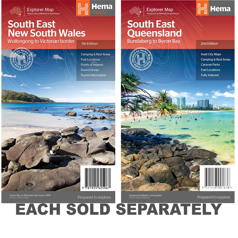
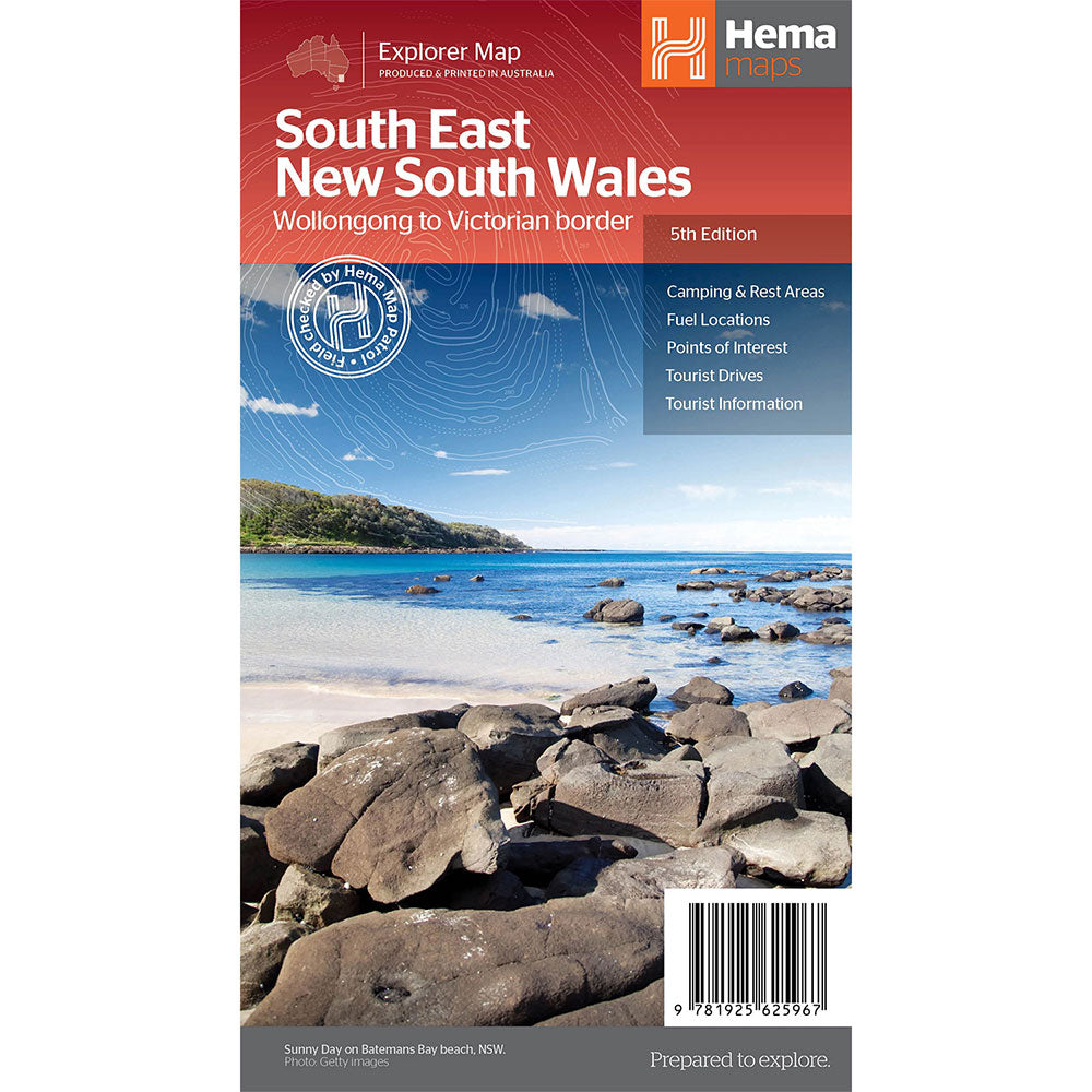
A regional map of South East New South Wales (1:385,000) that ranges from Wollongong down to the Victoria border and out to Gundagai and past Jindabyne in the West.
Covered regions in the map include; Illawarra, Jervis Bay & Shoalhaven, Batemans Bay, Canberra & surrounds, Merimbula & Sapphire Coast, Southern Highlands, Goulburn Region and the Snowy Mountains.
On the opposite side is extensive information on numerous regions, including visitor, historical and background information.
Comprehensive map of South East New South Wales, Camping & rest areas, Fuel locations, Tourist drives, Detailed National Park Listing with facilities, Tourist Information Centres
Product Specifications
- Comprehensive map of South East New South Wales
- Camping & rest areas
- Fuel locations
| Length : 25 cm | Width : 14 cm |
| Height : 0.3 cm |


Easy Returns
Free 365 Day Warranty

Shop & Pay in your currency
Now shipping to 40+ countries

100,000+ Products
Amazing Brands. All Gift Occasions.
Related Products
Top Selling Items


Trending Products