


Payment & Security
Your payment information is processed securely. We do not store credit card details nor have access to your credit card information.
Don’t Miss These Deals!


Description
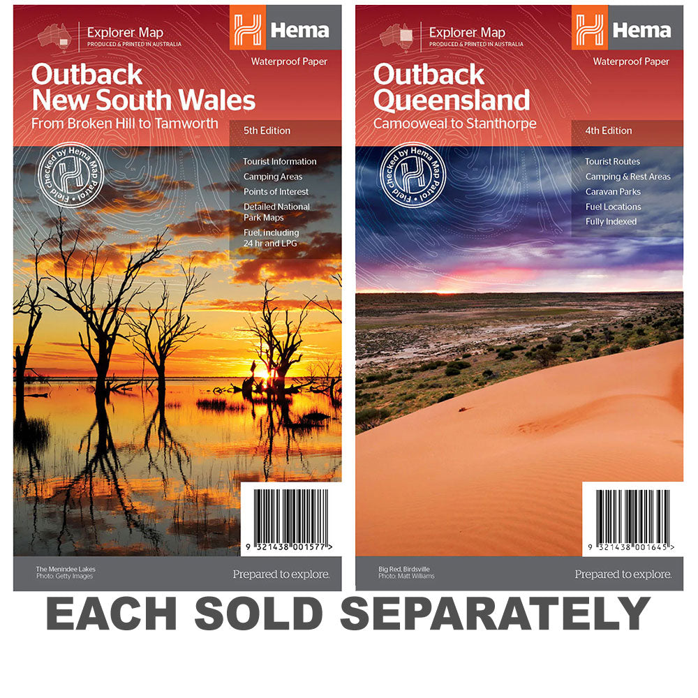
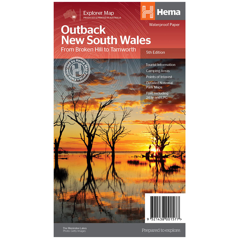
Outback New South Wales Map(5th edition)A regional map of outback NSW (1:1,100,000) that ranges from Tamworth in the east to Broken Hill in the west, as well as from Wagga Wagga in the south to past the Queensland border in the north.
On the opposite side is extensive information on numerous regions, including visitor, historical and background information.
Covered regions include the Broken Hill region, Corner Country, east of Tibooburra, the White Cliffs region, Cobar and surrounds, around Back o'Bourke, Lightning ridge and surrounds, Wentworth region, Balranald, Griffith region, Dubbo and surrounds, Kinchega National Park, Mungo National Park, Sturt National Park and Mutawintji National Park.
Detailed National Park Maps, Tourist information, Camping areas, Points of interest
Product Specifications
- Detailed National Park Maps
- Tourist information
- Camping areas
| Length : 25 cm | Width : 14 cm |
| Height : 0.3 cm |


Easy Returns
Free 365 Day Warranty

Shop & Pay in your currency
Now shipping to 40+ countries

100,000+ Products
Amazing Brands. All Gift Occasions.
Related Products
Top Selling Items


Trending Products