
Payment & Security
Your payment information is processed securely. We do not store credit card details nor have access to your credit card information.
Don’t Miss These Deals!


Description
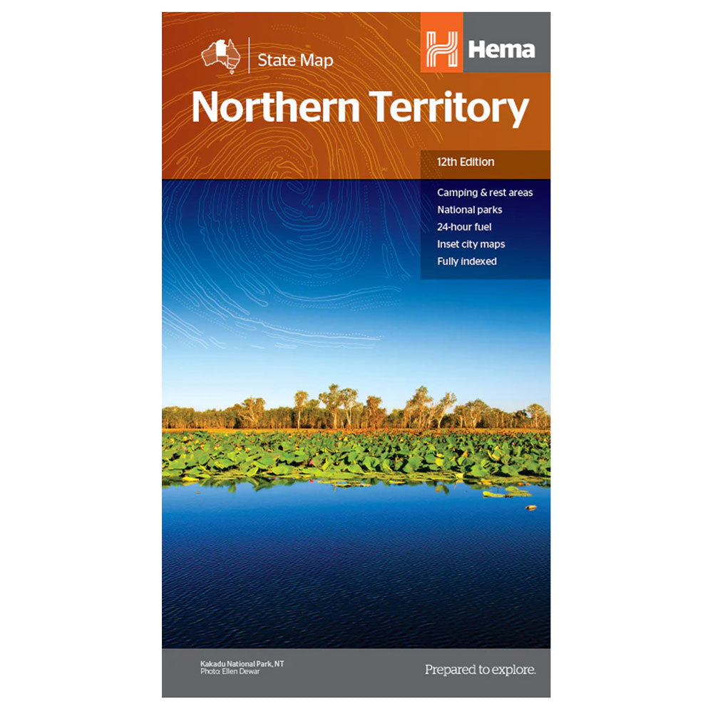
A map of the Northern Territory that has camping and rest areas, 24hour fuel and points of interest.
On the reverse are thorough road maps of Darwin and Alice Springs, and a map of the greater Darwin region.
For trip planning, there is a national park matrix and contact details for information centres.
GPS surveyed roads and tracks, Fuel stops 4WD tracks, Camping areas, Historic sites, Detailed inset maps, Waterproof/Durable paper
Product Specifications
- GPS surveyed roads and tracks
- Fuel stops 4WD tracks
- Camping areas
| Length : 29.9 cm | Width : 17.1 cm |
| Height : 4.4 cm |


Easy Returns
Free 365 Day Warranty

Shop & Pay in your currency
Now shipping to 40+ countries

100,000+ Products
Amazing Brands. All Gift Occasions.
Related Products
Top Selling Items


Save 15%


Trending Products

LatestBuy
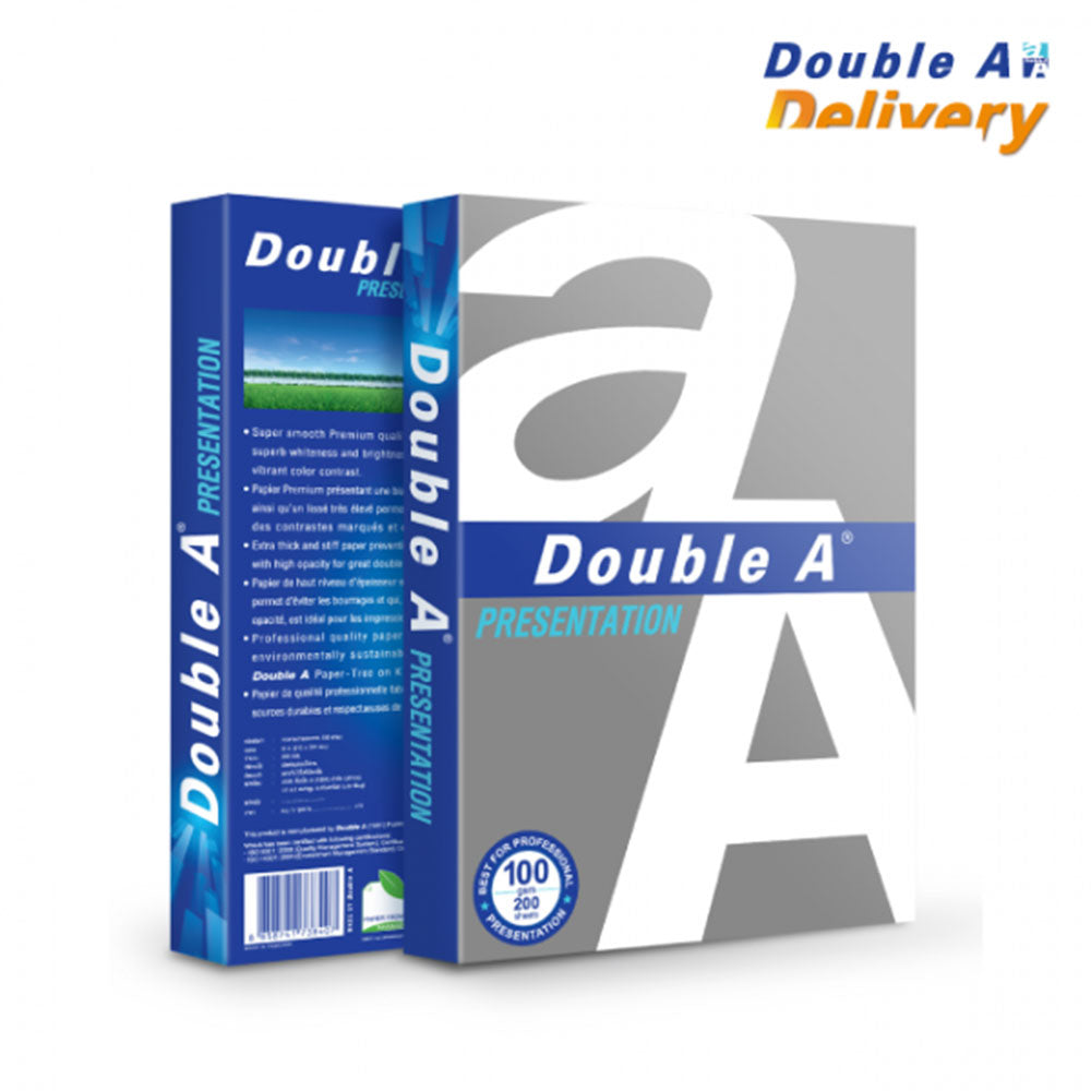
Double A A4 Copy Paper 100gsm 200pcs (White)
Sale price$9.99
In stock
🛒
BUY MORE SAVE MORE!


Save 30%
Jaycar
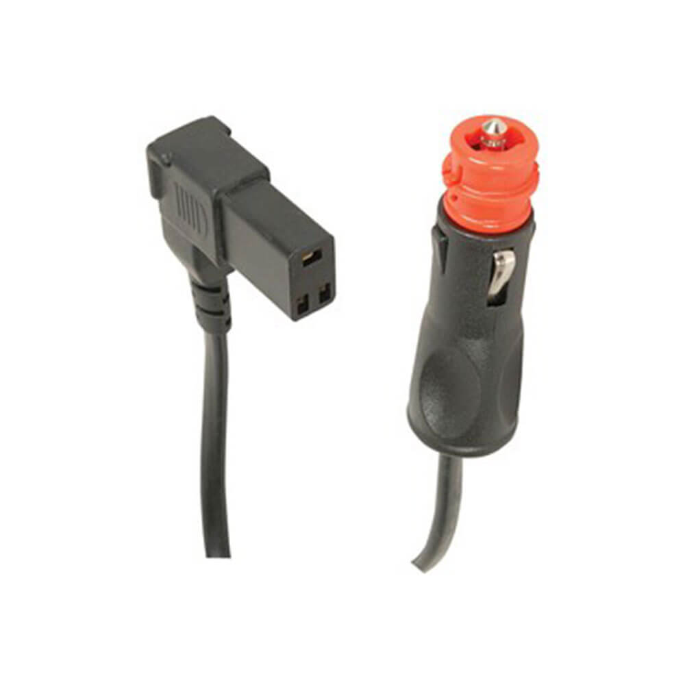
Replacement Cable with 3 Pin Socket for Engel Fridges 8A
Sale price$32.99
Regular price$46.99
In stock


Educational Colours
EC Rainbow Adhesivr Gems (Pack of 200)
Sale price$10.99
In stock
🛒
BUY MORE SAVE MORE!