


Payment & Security
Your payment information is processed securely. We do not store credit card details nor have access to your credit card information.
Don’t Miss These Deals!


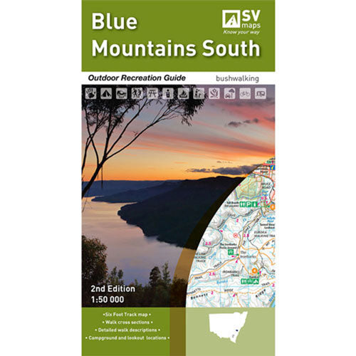
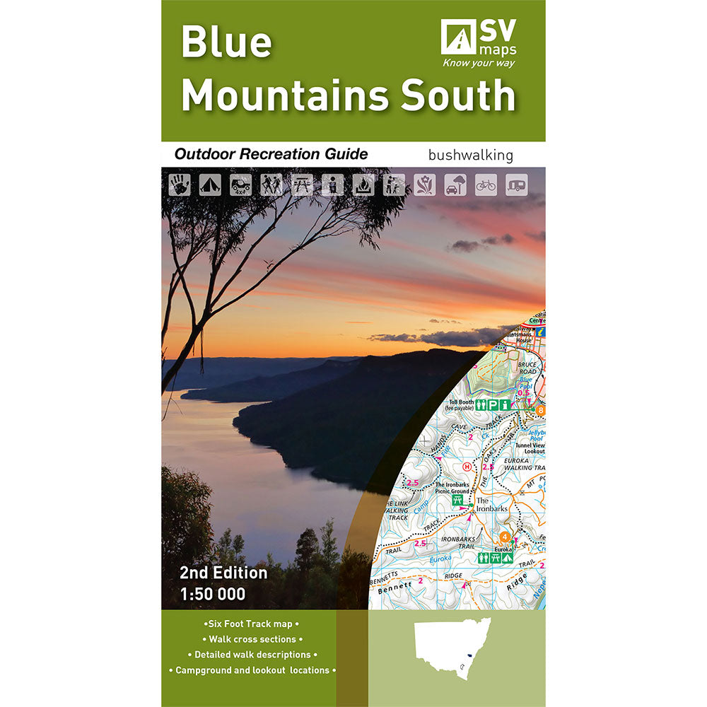
Description
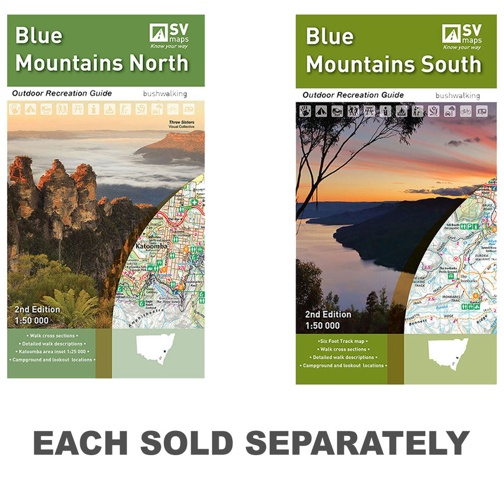
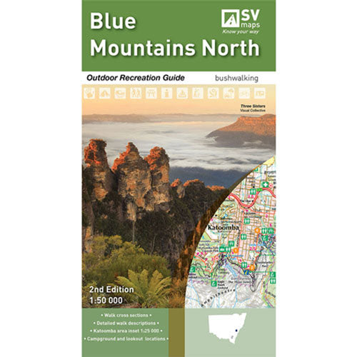
This map includes detailed walk descriptions including day walks such as the Grand Canyon and Prince Henry Cliff walk and overnight walks including Blue Gum Forest Circuit, Mount Victoria to Blue Gum Forrest and Blackheath.
This topographic map and guide in the scale of 1:50,000 covers the local towns of Mount Victoria, Blackheath, Medlow Bath, Katoomba, Leura, Wentworth Falls, Lawson, Springwood & Glenbrook.
Also includes information on other activities such as mountain biking, rock climbing, canyoning, canoeing, swimming, campground and lookout locations with GPS references. 1:25,000 map inset of the Katoomba and Wentworth Falls areas
Product Specifications
- Campground and Lookout locations and GPS references
- 1:25, 000 map inset of the Katoomba and Wentworth Falls area
- Walk cross sections
| Length : 100 cm | Width : 100 cm |
| Height : 81 cm |


Easy Returns
Free 365 Day Warranty

Shop & Pay in your currency
Now shipping to 40+ countries

100,000+ Products
Amazing Brands. All Gift Occasions.
Related Products
Top Selling Items


Trending Products